GIS and Data: Spatial and Attribute
A brief explanation of Spatial and Attribute Data in the context of Geographic Information Systems
Data is a critical component when establishing, using, and maintaining a Geographic Information System (GIS). In fact, approximately 80% of real-world data has some spatial content. Here’s how GIS handles data:
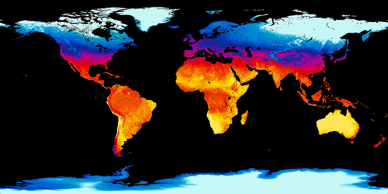
- Spatial Data: The best way to represent and utilize this data is through digital maps. These maps consist of various data layers, each representing different aspects of the geographic space. These layers can be analyzed, edited, and output independently or in combination with others. Spatial data can be vector, where features are represented as points, lines or polygons consisting of xy coordinates. There is also raster spatial data, where a layer is represented by pixels, where pixel size defines resolution and can influence data accuracy. Images are often used in GIS too, providing a visual representation, such as satellite imagery in a mapping application.
- Attribute Information: Beyond spatial features, GIS allows us to associate non-spatial information with each object on a data layer. This attribute information can be stored within the GIS software or externally using relational databases. Importantly, this data can be accessed and used even when not tied to a specific location.
- Dual Perspective: GIS enables data management, manipulation, and querying from both the spatial and attribute sides. Analysts can perform a wide range of analyses by leveraging both aspects.

In summary, GIS integrates spatial and attribute data, providing a powerful tool for understanding and managing our world.
The Awareness level of our Skills Framework includes multiple modules about Raster and Vector data. Access to the Skills Framework is included in all GIS247 licences. Plus our GIS Course Catalog provides access to all our GIS training courses & GIS technical modules. These include tutorials about how spatial and attribute data is created, loaded and used within specific GIS applications. When you purchase a licence to our training, you get access to ALL training material for your chosen GIS application.
Read on to learn about the most important aspect of GIS - GIS Users.


